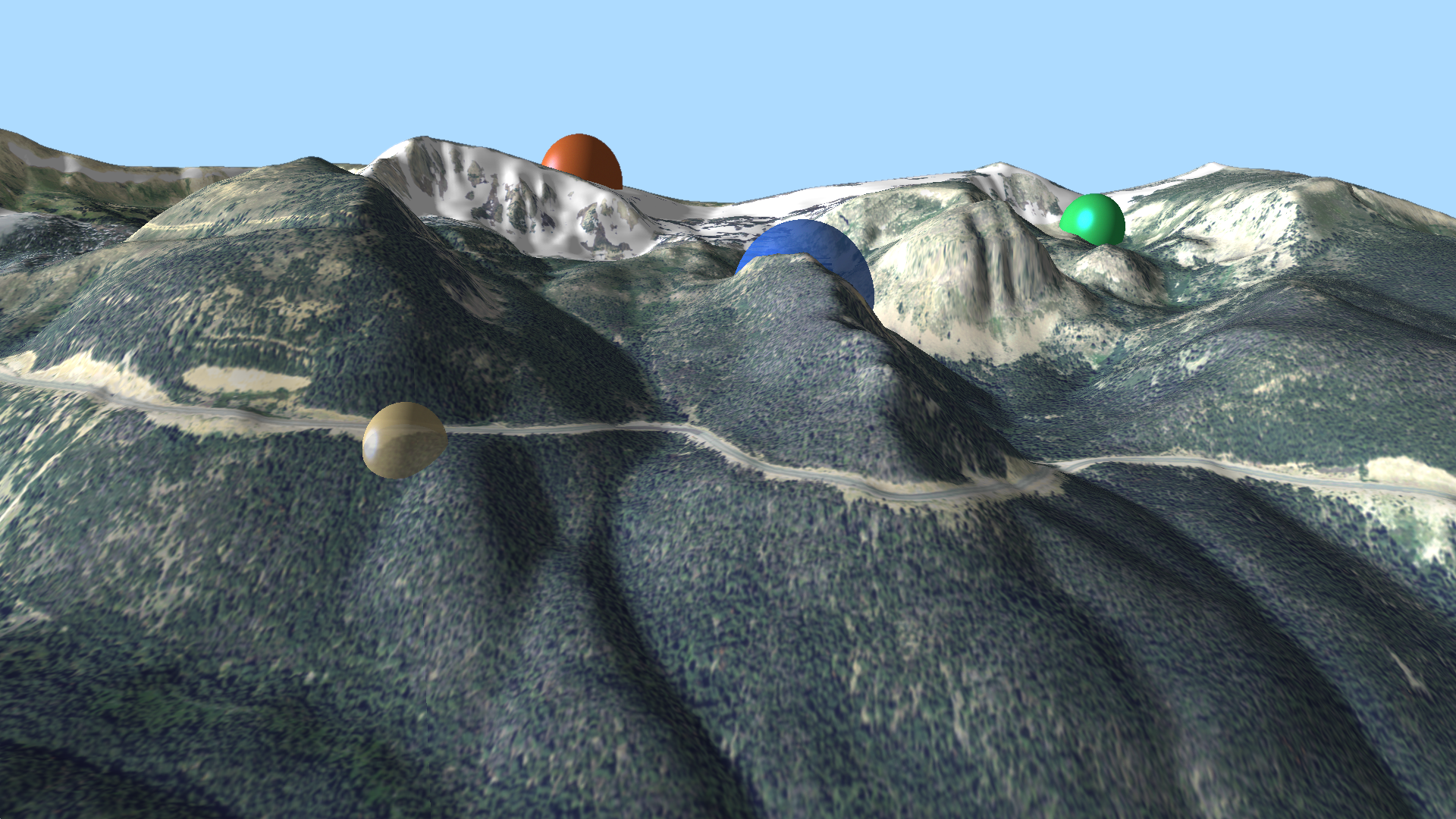
I've been playing around with a web-based tool for adding 3D primitives for rendering in edWare 3D. In an HTML form, the user can enter values for transparency and color; location can be entered or selected from a map view. By default, elevation is set to DEM elevation at the selected location, although the user can enter whatever elevation they'd like. I'm particularly fond of spheres:

(Click for higher res version)
So you can see some different locations, color and transparencies. A bit ho hum...
Then I thought it might be nice to form a line in "string of pearls" fashion:
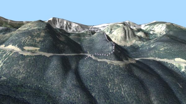
(Click for higher res version)
Kinda cool. So then, why not polygon fills?
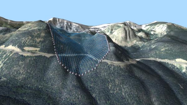
(Click for higher res version)
Cooler still. But it gives me the feel of some ag field with rows of crops. So let's add some random "jitter" and see:

(Click for higher res version)
Now that's something that's a bit different... Not necessarily useful, but different!


http://www.ctmap.com/serendipity/index.php?/archives/2-Fog-at-Staunton-State-Park.html