Computer Terrain Mapping, Inc. (CTM) is "about" an alternative, client-centric view for exploring the possibilities that geospatial technologies present. We've traditionally worked in a consulting environment, providing services predominantly in the land use planning arena. Along with analytical results, we've always felt that providing a powerful means of visualizing these results is a major part of the bargain. A component of our business has made visualization an end in itself, providing high impact maps and imagery to publications, enhancing their storylines with compelling visuals.
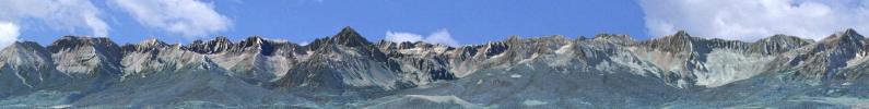
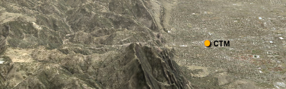
We're located in Boulder, Colorado, a beautiful city at the intersection of the Great Plains and Rocky Mountains. Like much of the American West, Boulder struggles with growth, preservation, affordability, evolving recreational issues and protecting its outstanding vistas. Boulder provides a wonderful laboratory to experiment with new ideas and test the validity of accepted norms.

Heidi Ochis is an environmental scientist with over 24 years of experience in GIS and remote sensing technologies. A graduate of the Forestry Program at Colorado State University, Ms. Ochis is an expert at applying GIS technology to environmental and land use planning problems. A principal at CTM since 1996, she specializes in assessing the visual impacts of growth, land use and land cover change, visual simulation, 3D modeling and image analysis. Heidi's outstanding cartographic skills have been utilized by nationally recognized publications such as National Geographic, National Geographic Adventure, Outside and Men's Journal. A strong believer in sharing her expertise with her community, Heidi serves on the Louisville Open Space Advisory Board, helping to evaluate and manage open space properties.

Ed Russell is a computer scientist specializing in geographic applications. He has over 28 years of experience in computer mapping, GIS and remote sensing. An expert in applying computer technology to land use planning issues, Edward has developed and presented new and innovative techniques for visual and spatial analysis in areas such as conservation planning and siting of new construction to minimize visual impacts. He has served on numerous boards addressing issues including land use regulation, comprehensive planning, intergovernmental agreements, and parks and open space planning. He has worked in the geophysical and atmospheric sciences developing new techniques and software for terrain visualization and modeling. He is the author of the EdWare suite of GIS tools for terrain modeling and analysis.